321.2 miles: Browns Peak Loop Snowy Range, Medicine Bow-Routt National Forest, Saratoga, WY

Date: Sunday- Monday, August 9 – 10, 2020

Miles: 12.1 miles

Elevation Gain: 1382 feet

Difficulty: Moderate (backpacking)

Time: 6 hr 30 min total

Trail Head:

https://www.alltrails.com/trail/us/wyoming/browns-peak-loop-in-snowy-range

Notes:

Southern Wyoming is so beautiful– one of my friends planned a girls backpacking trip in the Medicine Bow-Rout National Forest to finish out the summer. This loop is a great easy to moderate backpacking loop, that features beautiful views of the Snowy Range and multiple alpine glacial lakes. You could also do this as a long day hike, just make sure to pack extra supplies in case the weather turns bad. There are multiple entry points for this loop, we chose the most direct trail head, Brooklyn Lake. The night before we car camped right at the trail head (we saw multiple shooting stars).

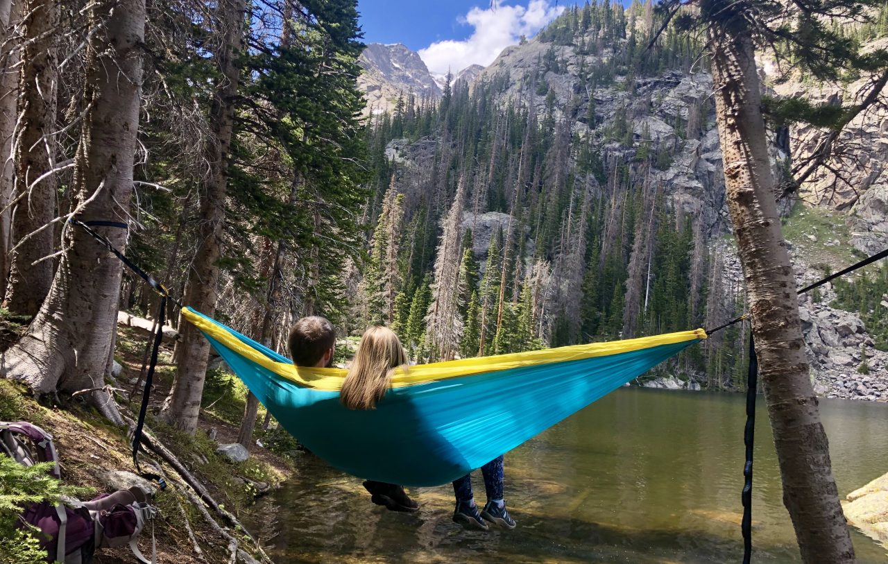
We chose to do the loop clockwise, in order to get past the boulder section before potential afternoon storms. The trail is narrow and steadily gains elevation at the beginning, before evening out at the first lake. We passed too many lakes to count or name them all in the first four miles before we stopped for lunch by Gap Lakes. Many of these lakes had people fly fishing– seems like a good spot! After Gap Lakes (4 miles), the trail begins to climb in elevation and gets rocky by South Gap Lake. The next quarter mile is pretty rocky and requires some route finding and careful footing. It felt a bit difficult with a heavy backpack, but it would have probably been fine without a pack. Once past the boulder field, the trail turns left at the junction of Shelf Lake trail. From there, the trail flattens out and snakes through alpine tundra.

We hiked about 8 miles to Sheep Lake, where we set up camp near the first large lake. The water was not ideal for filtering, so I probably would camp at a different location in the future. The next morning we packed up camp and hiked a little over 4 miles back to the trail head. Our first mile (mile 9 from loop) gained elevation steadily, offering expansive views of Sheep Lakes. Once we got to North Twin Lakes, the trail began to descend back to the trail head. There were so many beautiful wildflowers on this loop! We also did not see that many other people– the people that we did pass were mostly other backpackers.

Day 1
Day 2
Follow trail to Gap Lakes
Gap Lakes
Campsite
End of day 1– about 8 miles
Beginning of day 2- a little over 4 miles

309.1 miles: Mesa Lake and Lost Lake Trail, Grand Mesa National Forest, Mesa, CO

Date: Sunday, August 2, 2020

Miles: 2.4 miles

Elevation Gain: 407 feet

Difficulty: Easy

Time: 1 hr total

Trail Head:

https://www.alltrails.com/trail/us/colorado/lost-lake-and-mesa-lakes-from-glacier-spring-campground

Notes:

Another summer hike repeat! I won’t regurgitate the same trail report again, although I will add that the mosquitos were far less severe than last time. The trail was also a lot more busy than before.

S Mesa Lake
Lost Lake

306.7 miles: Palisade Rim Trail, Palisade, CO

Date: Saturday, August 1, 2020

Miles: 3.4 miles

Elevation Gain: 623 feet

Difficulty: Easy to Moderate

Time: 1 hr 45 min total

Trail Head:

https://www.alltrails.com/trail/us/colorado/palisade-rim-trail

Notes:

At the beginning of August, I visited my parents on the western slope again and hiked this nearby trail. I won’t repeat the trail report again, so check out the previous post from this summer for specifics. Hiking in August, we started a lot earlier and did not pass even half the amount of hikers as we did in May. The petroglyphs are still really cool!

303.3 miles: Mallory Cave, Boulder, CO

Date: Wednesday, July 29, 2020

Miles: 2.7 miles

Elevation Gain: 823 feet

Difficulty: Easy to Moderate

Time: 1 hr 30 min total

Trail Head:

https://www.alltrails.com/trail/us/colorado/mallory-cave

Notes:

Another early morning hike to beat the heat and crowds. I met up with a friend and hiked to the top of Mallory Cave from the NCAR trailhead. This is a great summer hike since it features shade, and is mostly shaded during the uphill sections. From NCAR, follow signs for the Mesa Trail and Mallory Cave. The trail first descends into the valley, then after the trail junction climbs elevation intermittently to the top. The cave entrance is currently closed for bats.

Look out from Mallory Cave

300.6 miles: North Fork Shanahan Trail, Boulder, CO

Date: Tuesday, July 21, 2020

Miles: 1.3 miles

Elevation Gain: 138 feet

Difficulty: Easy

Time: 30 min total

Trail Head:

https://www.alltrails.com/trail/us/colorado/north-fork-shanahan-trail

Notes:

I went for an early morning hike in Boulder after running an errand– just a quick loop off the Shanahan Ridge trail head, before heading back to Denver. I’ve hiked / reported about this trail a lot, so I don’t have that much else to say about it. It starts off as a pretty wide trail, before I veered left on a more narrow path to loop back to the Shanahan Ridge trail. It was pretty quiet in the morning, most people were wearing masks and practicing social distance.