446.5 miles: Lichen Peak, North Table Mountain Open Space, Golden, CO

Miles: 2.2 miles

Elevation Gain: 590 feet

Difficulty: Moderate

Time: 1 hr 20 min total

Trail Head:

https://www.alltrails.com/trail/us/colorado/lichen-peak-trail

Notes:

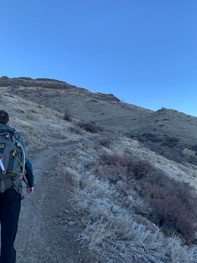
A few weeks ago Travis and I were able to complete this quick hike during the weekday for sunset. I’ve always had this hike on my Alltrails list, but I always passed it up thinking it would be too crowded. From the parking lot, the trail gains almost all the elevation profile in the first .7 miles. This part of the trail is multi use and wide. Once to the plateau, we followed the trail left to Lichen Peak (hiker only). Trav and I were pleasantly surprised— we had the trail to ourselves once we passed the trail junction! We sat at the peak for awhile, then hiked a bit around the top for some added mileage before hiking back down.

444.3 miles: Lower Bluestem Trail, Boulder, CO

Miles: 3.5 miles

Elevation Gain: 390 feet

Difficulty: Easy

Time: 1 hr 20 min total

Trail Head:

https://www.alltrails.com/trail/us/colorado/shanahan-ridge-trail

Notes:

Quick repeat hike in south Boulder— Shanahan Ridge is always a lot less busy than most Boulder trailheads. This trail starts in a neighborhood and extends into a vista framed by the flat irons. My friend and I met up and just hiked Lower Bluestem and back, relatively flat and a very wide trail.

440.8 miles: Mesa Top & Cottonwood Canyon Trail Loop, North Table Mountain Park, Golden, CO

Date: November 8, 2020

Miles: 3.8 miles

Elevation Gain: 751 feet

Difficulty: Easy to Moderate

Time: 1 hr 30 min total

Trail Head:

https://www.alltrails.com/trail/us/colorado/mesa-top-and-cottonwood-canyon-loop

Notes:

This open space is a short distance from Denver, but gets pretty crowded, especially since most trails are multi use. However, it was quieter than usual on a late afternoon off season. For this quick loop, we took Lithic trail to Mesa Top Trail, then followed that to Cottonwood Canyon Trail. We parked right off the road for the trailhead, then crossed the road and took the connector to the main part of the Lithic trail. The trail is narrow for multi use, and pretty rocky, making it difficult to navigate when crowded. We completed the loop counter clockwise, topping out at elevation around mile 1.5. Easy, quick hike in the metro area.

437 miles: Plymouth Mountain via Plymouth Creek & Meadowlark Trails, Deer Creek Canyon Park, Littleton, CO

Date: November 1, 2020

Miles: 6.2 miles

Elevation Gain: 1453 feet

Difficulty: Moderate

Time: 2 hr 30 min total

Trail Head:

https://www.alltrails.com/trail/us/colorado/meadowlark-trail-to-plymouth-mountain

Notes:

I can’t believe this was my first time hiking at Deer Creek Canyon Park! This is a really scenic open space south of red rocks, with a few different trail systems. We started this hike from Plymouth Creek Trail, which is a hiker only route. From Plymouth Creek, the trail gradually gains elevation— this section has little shade and features views of the foothills and red rocks. Once at the trail junction, we followed Meadowlark Trail to the right— this section gets wider and steeper (also it becomes multi-use). From here, we made the mistake of taking the first Plymouth Mountain trail on the left— instead, you want to continue to the second junction. Or, take the scenic route like we did! At the second junction, the trail becomes steep until the scenic look out. On the way down, we followed Meadowlark Trail to the parking lot for a change of pace. This trail was a steeper decline, but shorter. Great hike!

430.8 miles: Castle, Meadow and Parmalee Gulch Trail Loop (Walker Home Ruins), Mount Falcon Park, Indian Hills, CO

Date: October 31, 2020

Miles: 3.9 miles

Elevation Gain: 610 feet

Difficulty: Easy to Moderate

Time: 1 hr 20 min total

Trail Head:

https://www.alltrails.com/trail/us/colorado/

Notes:

I fell a little behind posting these! For Halloween we decided to go on an evening / sunset hike at Jeff Co Open Space Mount Falcon Park. We parked at the west trailhead and completed this easy loop which featured ruins from the Walker Home.

The trailhead has limited parking— we parked at the satellite lot and started the loop from Parmalee Gulch Trail. This trail first descends into the gulch, then gently climbs back up with views of the canyon. Once we hit the trail junction, we followed Meadow Trail to the Walker Home Ruins. The ruins were pretty cool. From there, we followed Castle trail to the right, back to the junction with Parmalee Gulch. Great local hike!