425.3 miles: Rabbit Ears Mesa Trail, McInnis Canyons National Conservation Area, Fruita, CO

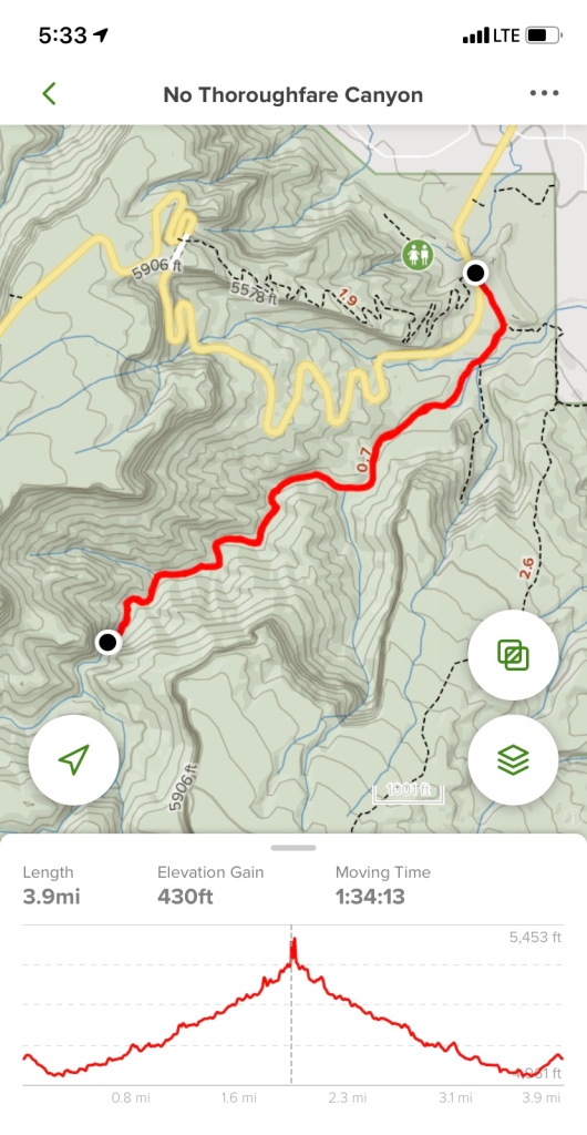
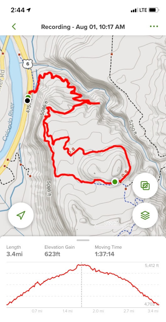
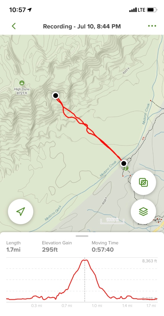
Date: October 10, 2020

Miles: 6.2 miles

Elevation Gain: 843 feet

Difficulty: Easy to Moderate

Time: 3 hr total

Trail Head:

https://www.alltrails.com/trail/us/colorado/rabbits-ear-mesa-trail

Notes:

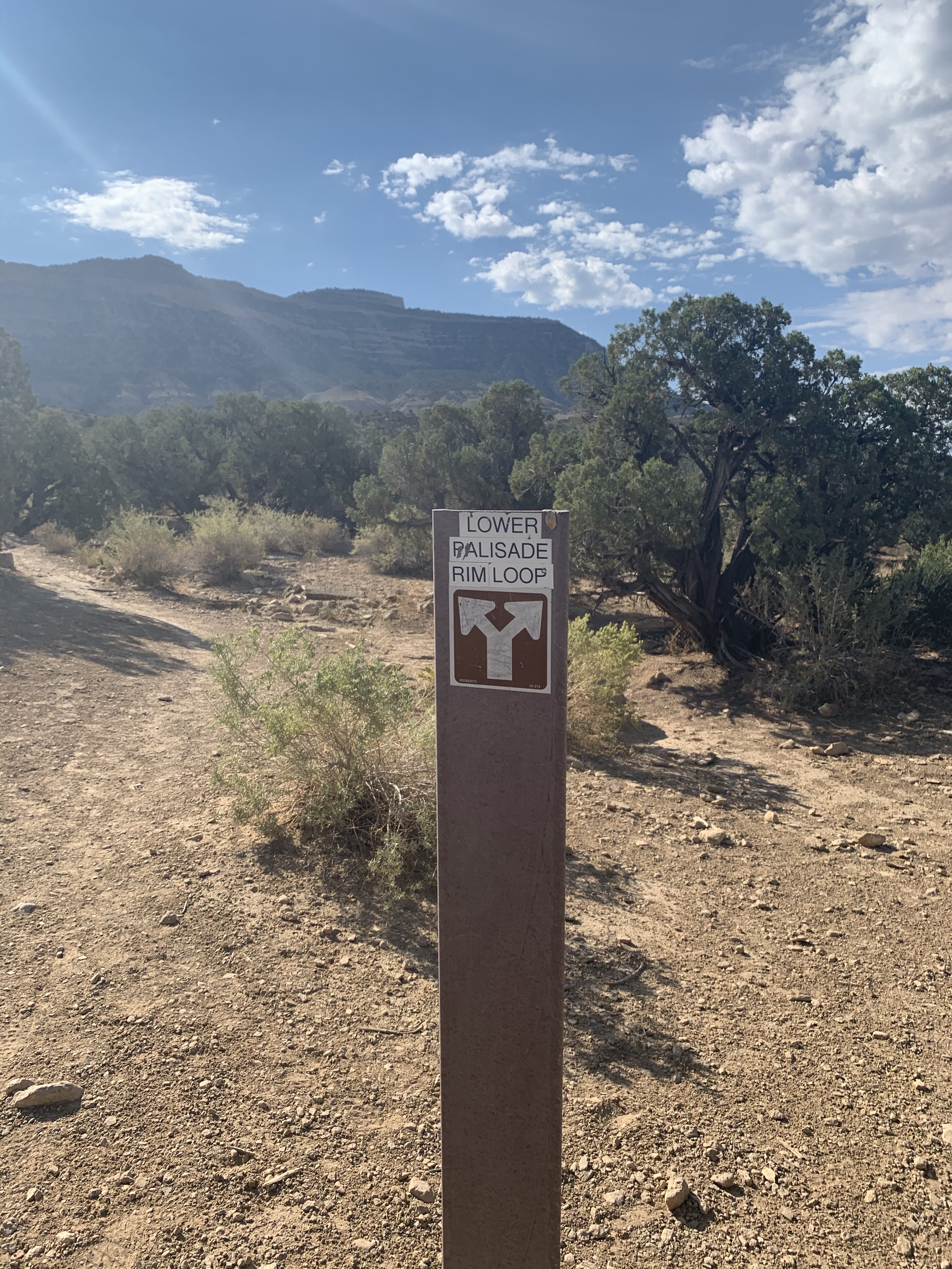
We continued our desert hikes by exploring McInnis Canyons National Conservation area, right on the Colorado /Utah border. We took the Rabbit Valley exit, then followed the dirt road to signs for Rabbit Valley. The trailhead is accessible by 2 WD and had plenty of parking. The sign for the trailhead does list the trail mileage wrong— it says the loop is 4.8 miles.

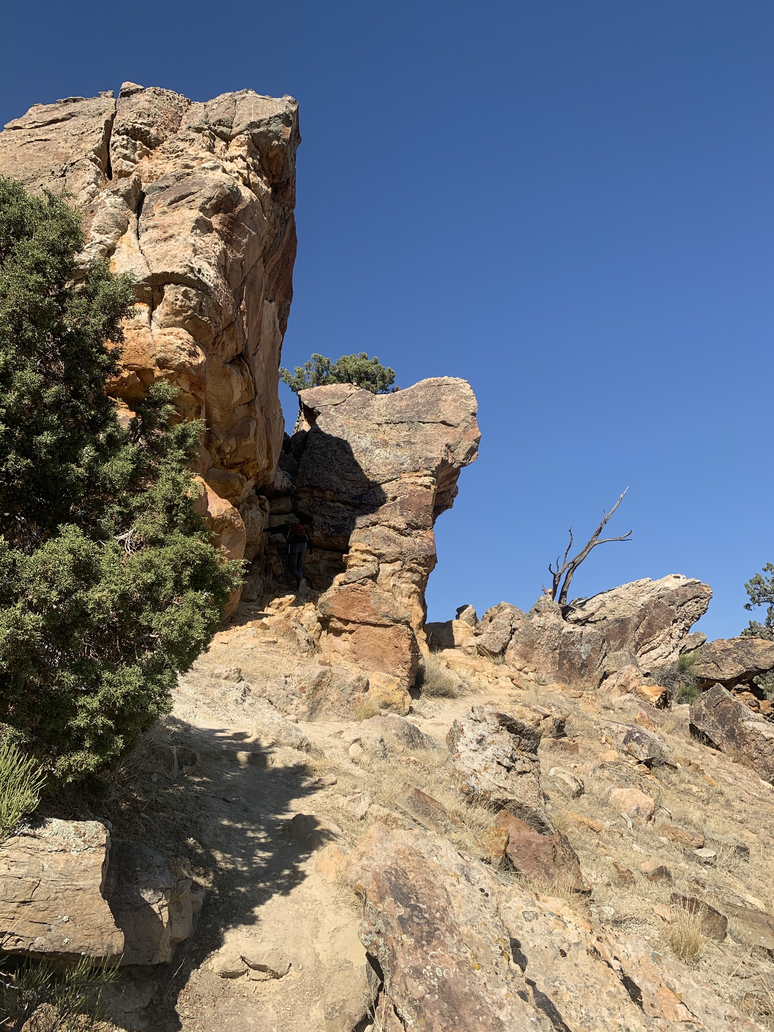
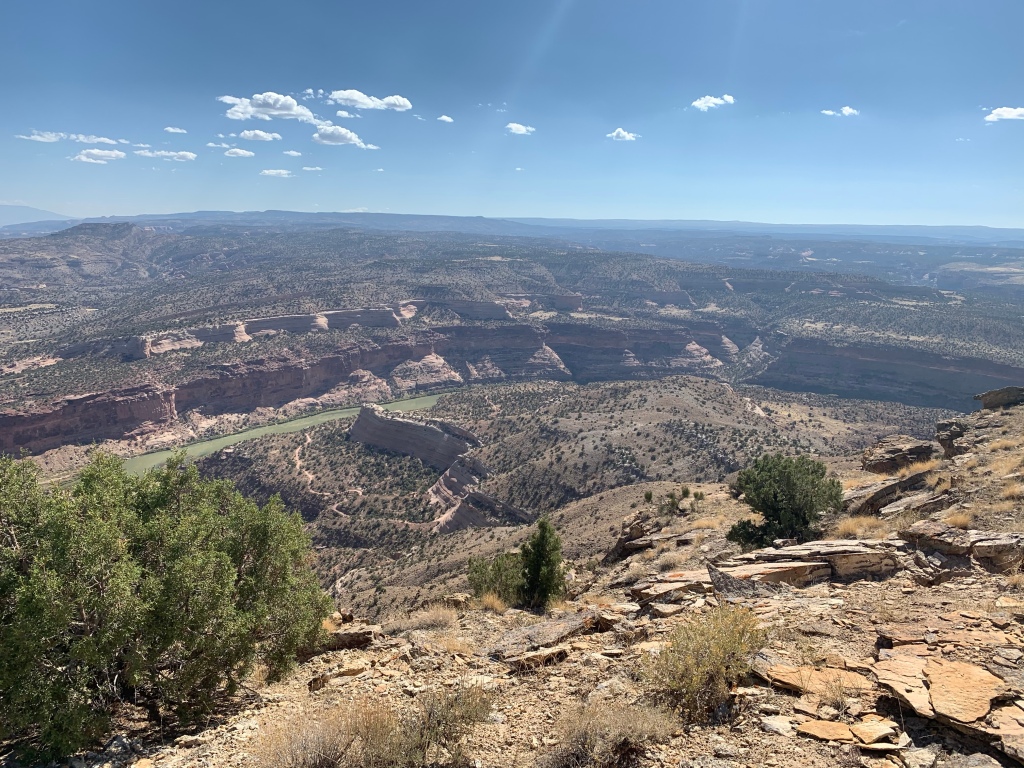
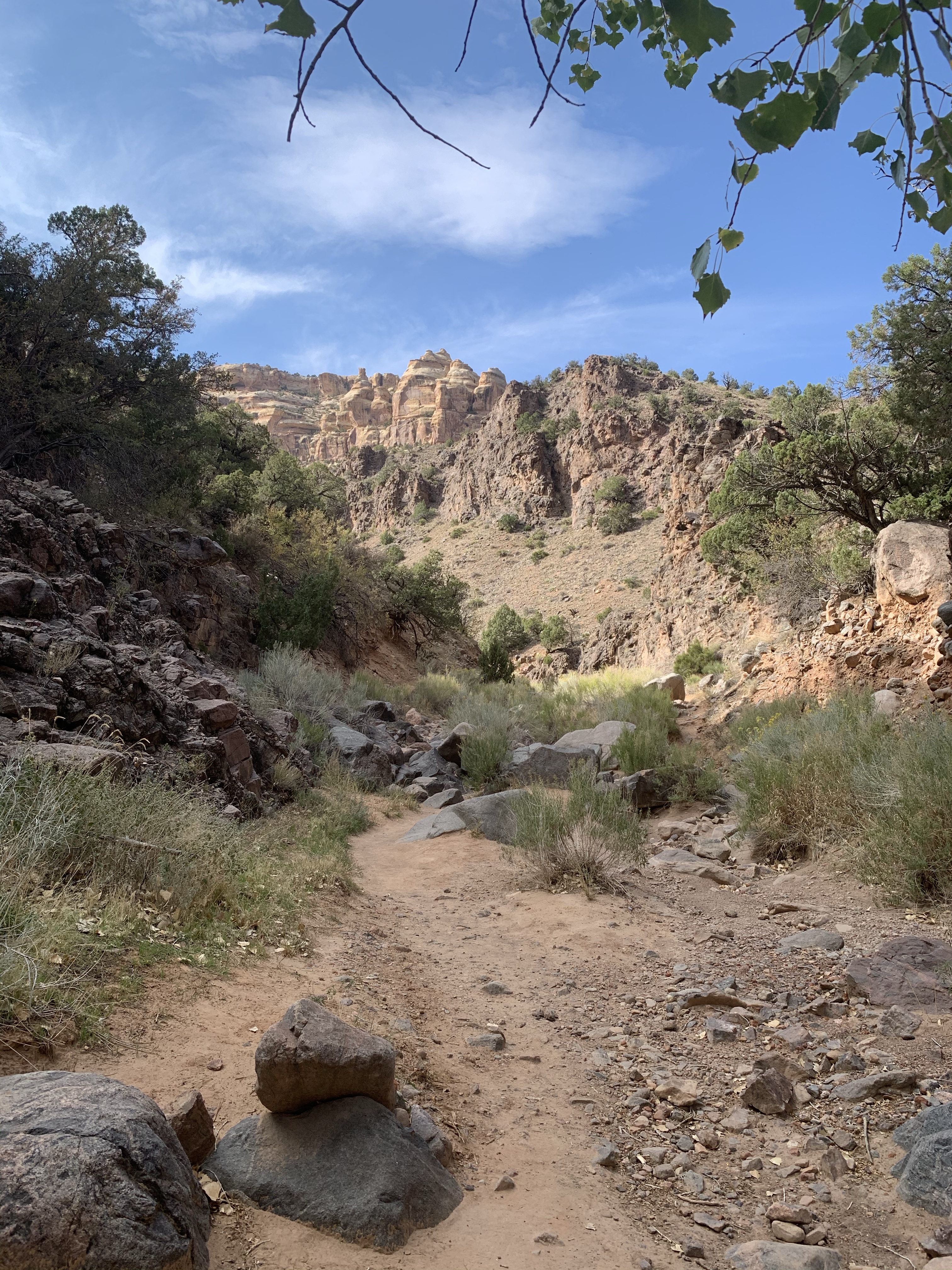
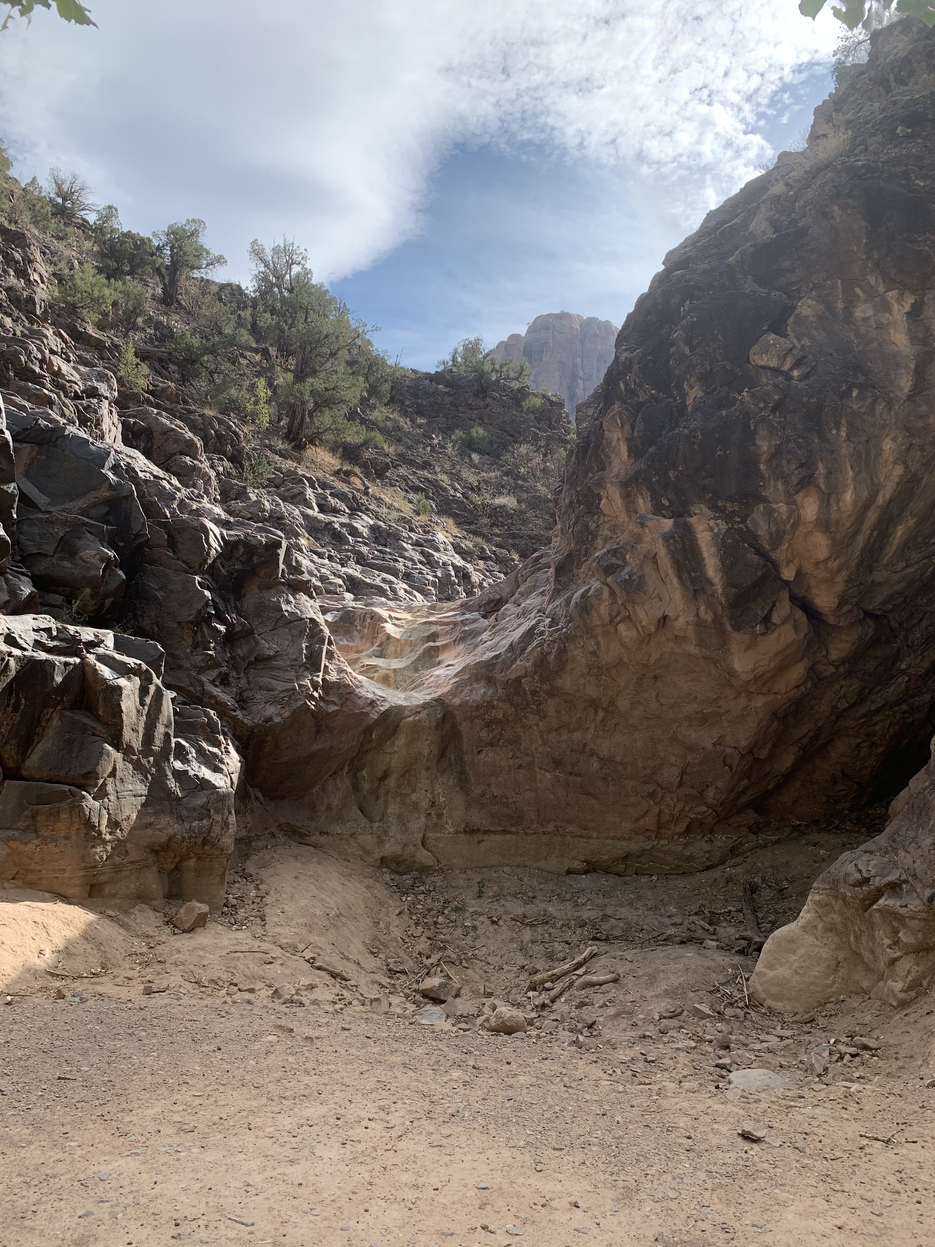
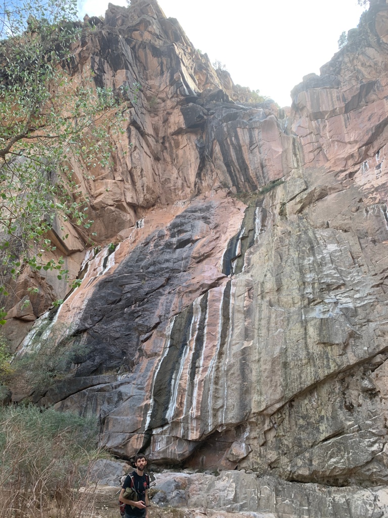
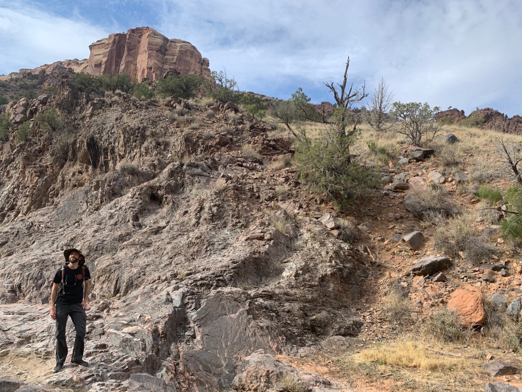
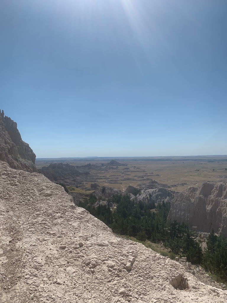
The first 1.2 miles of the trail steadily climbs elevation. This section is not the most scenic, since it overlooks the interstate. However, once to a mile we did not really hear the road noise. This section of the trail was also pretty rocky and eroded in certain areas. Once to the top of the Mesa, you have a beautiful view of McInnis Canyons and the Colorado River. Once on the top of the mesa, the trail elevation tapers off considerably. There were quite a bit of pinyon trees which offered a bit of shade. We only saw one other group of people the whole time!

419.1 miles: No Thoroughfare Canyon Trail (to first waterfall), Colorado National Monument, Grand Junction, CO

Date: October 9, 2020

Miles: 3.9 miles

Elevation Gain: 430 feet

Difficulty: Easy

Time: 1 hr 30 min total

Trail Head:

https://www.alltrails.com/trail/us/colorado/no-thoroughfare-canyon

Notes:

We visited my parents on the western slope this past weekend while the drive is still snow free. We decided to hike at the Colorado National Monument late afternoon, choosing this easy hike to explore a new part of the park. We parked at Devils Kitchen trailhead, which had limited parking, and started the hike from the eastern lot. The trail starts off wide and gently slopes down to the first junction, where we veared right to No Thoroughfare Canyon Trail.

The trail more or less follows the wash towards the first pool and waterfall. There are a few different paths that braid through the wash and higher banks. A few times we lost the path we were on, but we easily found cairns leading back to a trail. Once you get to the first pool, the trails begins to gain some altitude, starting with a section of stairs leading above the first pool. As we approached the first water fall, we startled some big horn sheep that were grazing in the shade of the canyon. No water at either the first pool or the first waterfall, but it was cool in the shade of the canyon.

First waterfall
Big horn sheep

369.1 miles: Notch Trail, Badlands National Park (North Unit), Interior, SD

Date: Sunday, August 29, 2020

Miles: 1.3 miles

Elevation Gain: 128 feet

Difficulty: Moderate to Difficult (due to terrain)

Time: 45 min total

Trail Head:

https://www.alltrails.com/trail/us/south-dakota/notch-trail

Notes:

Notch Trail is off the main major trailhead, along with the Door and the Window trails. This trail head was the most crowded area of the park we visited, due to the short distance of each trail. Parking is limited and sure to fill up, with the Notch Trail beginning at the very right corner of the parking lot. The terrain is really not suitable for children (despite many parents trying)— steep cliff drop offs, a ladder climb, lots of loose rocks, etc.

The first quarter mile of the trail is flat and winds through rock formations to the base of the ladder. The rope ladder gains about 100 feet, but does require careful footing. This caused a little bit of a back up on the trail. There were also several parents who tried to take their kid on it, only for the kid to freak out half way up the ladder. Once we climbed the ladder, the trail narrows against the rock face and has steep drop offs with no chains or rails. The trail requires a few short sections of scrambling, before it opens up to a plateau where you can walk to the look out. Great view of the valley below!

306.7 miles: Palisade Rim Trail, Palisade, CO

Date: Saturday, August 1, 2020

Miles: 3.4 miles

Elevation Gain: 623 feet

Difficulty: Easy to Moderate

Time: 1 hr 45 min total

Trail Head:

https://www.alltrails.com/trail/us/colorado/palisade-rim-trail

Notes:

At the beginning of August, I visited my parents on the western slope again and hiked this nearby trail. I won’t repeat the trail report again, so check out the previous post from this summer for specifics. Hiking in August, we started a lot earlier and did not pass even half the amount of hikers as we did in May. The petroglyphs are still really cool!

277.6 miles: Dune-field, Great Sand Dunes National Park & Preserve, Hooper, CO

Date: Friday, July 10, 2020

Miles: 1.7 miles

Elevation Gain: 295 feet

Difficulty: Moderate to Difficult

Time: 1 hr total

Trail Head:

https://www.alltrails.com/trail/us/colorado/high-dune

Notes:

The sand dunes are one of the coolest places in Colorado— we definitely always stop by to hike the dune field anytime we are near the area! This was our first time hiking the dunes in the summer— we usually go off season and explore when the weather is cooler. To avoid baking in the sun, we went for golden hour Friday evening, when the temperature was perfect out!

We got to the Dunes parking lot around 7:30 PM— although we have a park pass, they do not collect fees that late on the weekdays. The dunefield is exactly what it sounds like— a field of sand dunes, and you can pick your own path. There is no defined trail once you are in there— perfect for social distancing. The Medano Creek was dried up, and there is about a quarter mile of flat sand before you reach the base of the dunes. We hiked around the dunes for awhile, but avoid high dune since many people were gathered there to watch the sunset.